May 18, 2020
Posted 5/18/2020
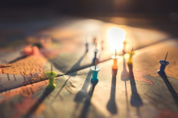
Cartography – the science or practice of drawing maps. It may involve the superimposition of political, cultural, or other nongeographical divisions onto the representation of a geographical area. Creating an illustrated map allows us to use our creativity and bring to life a geographical location – it may be a favorite vacation spot, some place you used to visit growing up, a local park, or it could be your Kendal community.
Oh, the places you’ll go without ever leaving your home. But, what a story your illustrated map will be able to tell once you’re done. What a wonderful opportunity to share something that is meaningful to you in such a creative and personal way.
New York Times – How to Make an Illustrated Map in 8 Steps (requires you to create a free account if you do not have a subscription to the NY Times)

Join Email List
Want to stay connected? Join Kendal’s Life Enrichment and Engagement Email List to receive future emails directly.